Mizen Head Pictures, Images and Stock Photos
Browse 370+ mizen head stock photos and images available, or search for ring of kerry to find more great stock photos and pictures.
Most popular
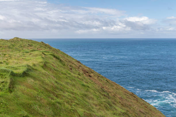
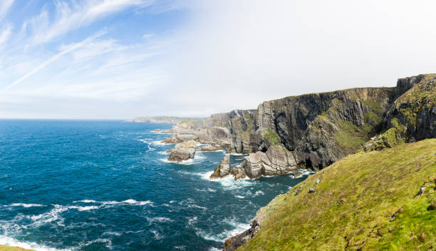
Ireland cliffs and seascapes at the south east of Ireland
Mizen Head, Ireland - atlantic coast cliffs at Mizen Head, County Cork, Ireland
Garinish Island is located in the sheltered harbour of Glengarriff in Bantry Bay, in Southwest Ireland. Garinish is world renowned for its gardens which are laid out in beautiful walks and it has some stunning specimen plants which are rare in this climate.
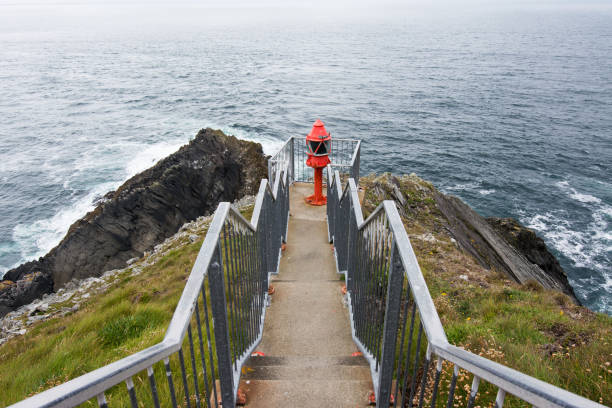
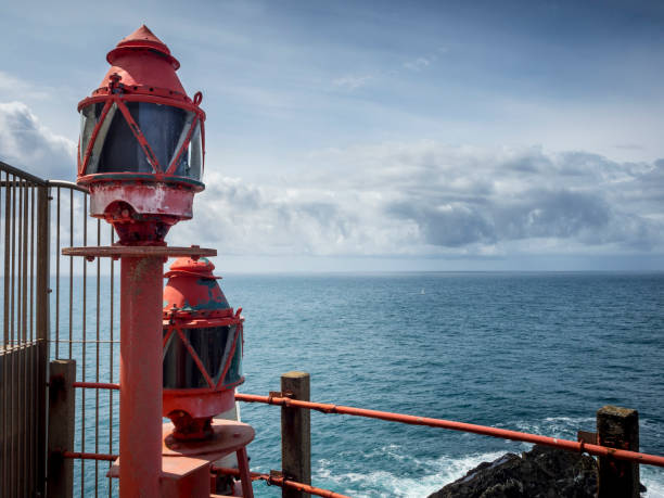
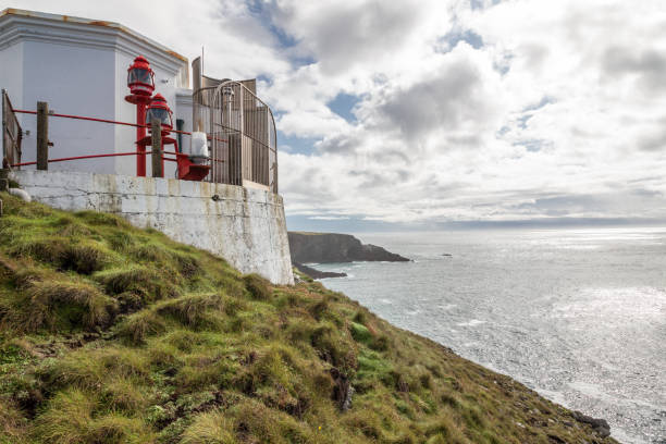
mizen head lighthouse ireland
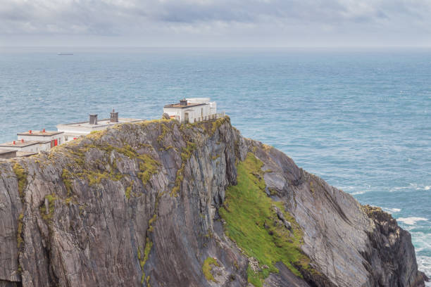
Overview of Mizen Head
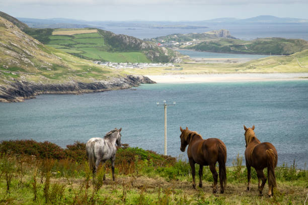
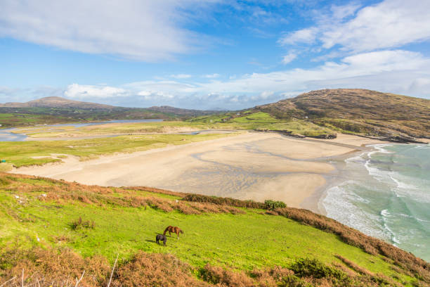
View across field with 3 horses (2 brown, 1 white) and inlet, towards distant beach (Galley Cove, near Mizen Head, County Cork, Ireland). This rural scene is typical of the rugged scenery associated with the Atlantic Way (the western coast of Ireland and a popular destination for tourists).
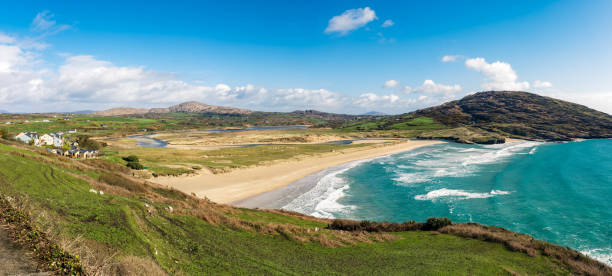
On the road to Mizen Head I enjoyed this panoramic view of the famous beach Barley Cove.
mizen head lighthouse ireland
mizen head lighthouse ireland
Mizen Head - County Cork - Ireland
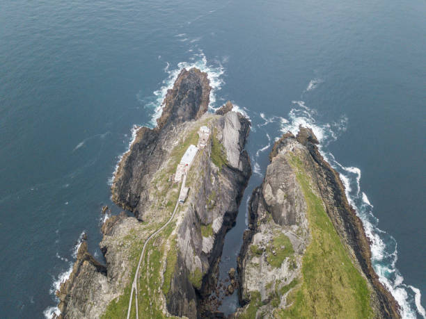
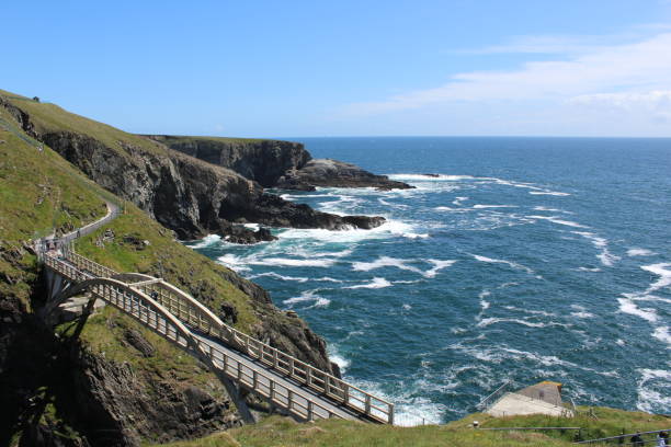
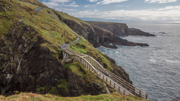
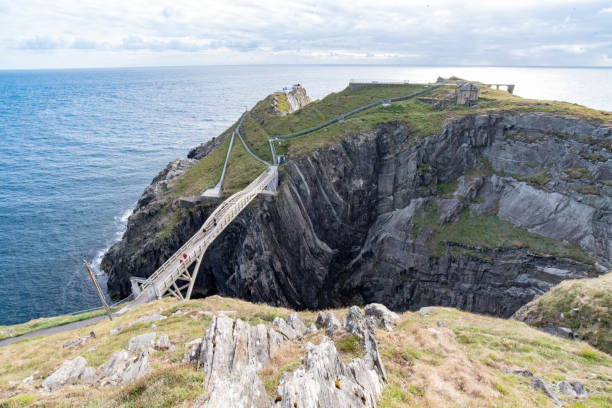
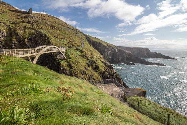
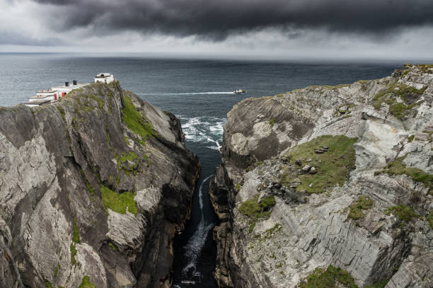
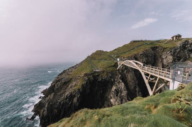
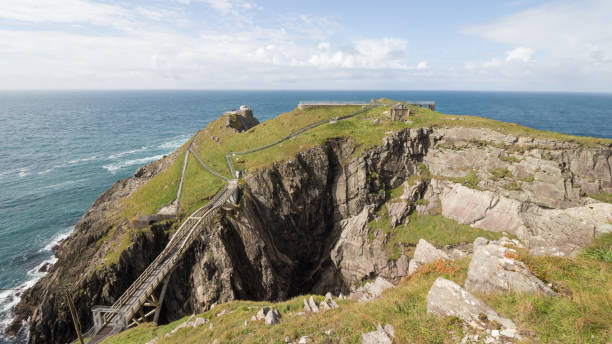
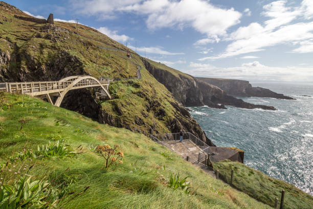
Aerial view of Mizen Bridge, Mizen Head, Co. Cork, Ireland.
Rough cliff line at Mizen head lighthouse in southern west Ireland

Ferry crossing rocky headland of Mizen Head, County Cork, Ireland, with dark storm clouds approaching.
ireland county cork mizen head
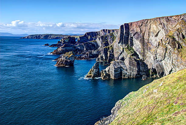
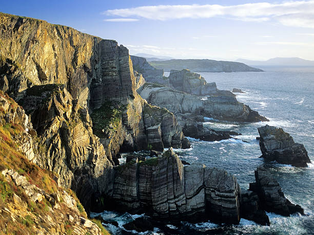
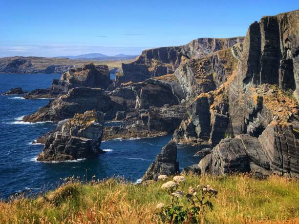
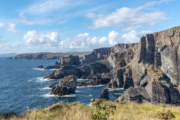
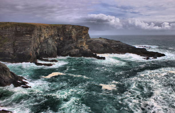
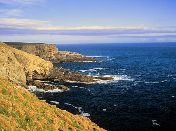
The dramatic cliffs at Mizen Head, County Cork, Ireland where the Atlantic Ocean crashes against the rocks, against a bright blue sky
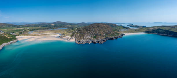
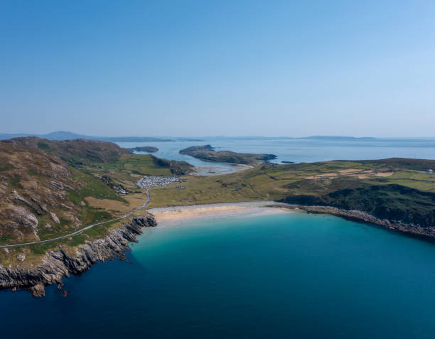
A panorama aerial view of Barley Cove Beach on the Mizen Peninsula of West Cork in Ireland
Garinish Island is located in the sheltered harbour of Glengarriff in Bantry Bay, in Southwest Ireland. Garinish is world renowned for its gardens which are laid out in beautiful walks and it has some stunning specimen plants which are rare in this climate.
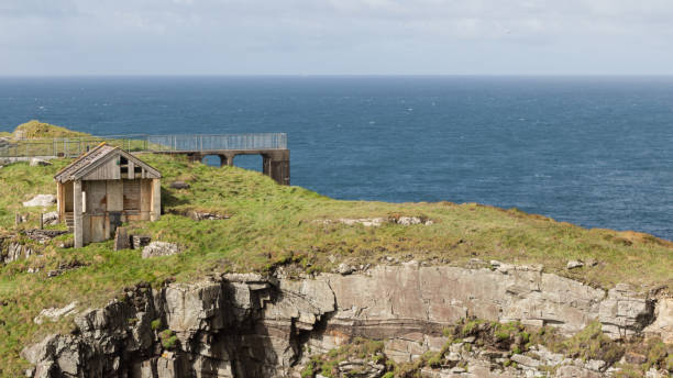
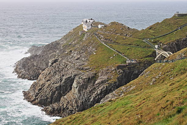
Mizen Head Signal Station in County Cork, Ireland.
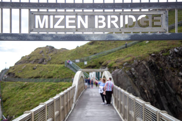
Tourists taking a selfie on Mizen Head Bridge, County Cork, Ireland
Shot of Mizen Head Bridge in Ireland against dramatic sky with sun rays daytime in summer
Garinish Island is located in the sheltered harbour of Glengarriff in Bantry Bay, in Southwest Ireland. Garinish is world renowned for its gardens which are laid out in beautiful walks and it has some stunning specimen plants which are rare in this climate.

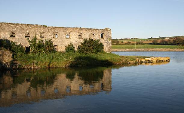
Old ruined building on the West Coast of IrelandFor similar images please click on the lightbox below
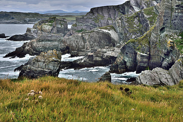
Panoramic picture of cliff line from Mizen Head lighthouse in Ireland
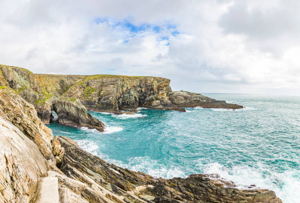
Rough cliff line at Mizen head lighthouse in southern west Ireland
Panoramic picture of Barley Cove Beach in southern west Ireland
Atlantic coast cliffs at Mizen Head, County Cork, Ireland
mizen head lighthouse ireland
Mizen Head ireland wild atlantic way
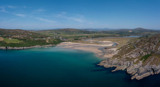
An aerial view of Barley Cove Beach on the Mizen Peninsula of West Cork in Ireland
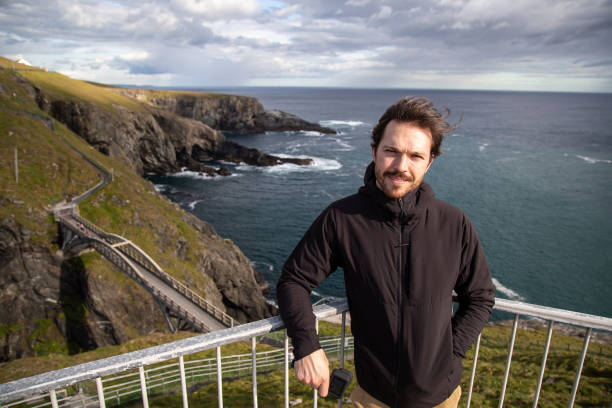
Caucasian man leaning on railing and holding an action camera, at Mizen Head Bridge in County Cork, Ireland. Cliffs on the background
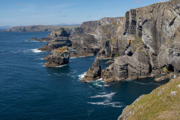
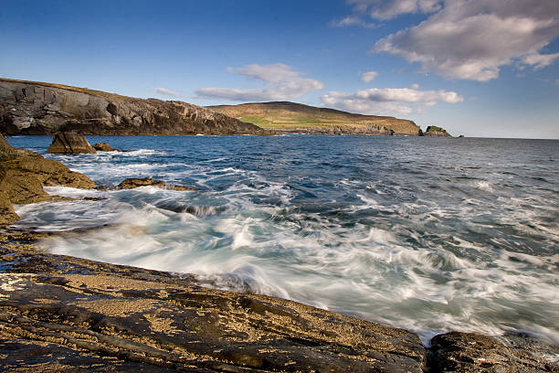
Coastline seen from Mizen Head
Mizen Head south-west coast of Ireland, co. Cork
An aerial view of Lackenakea Bay Beach in Barley Cove on the Mizen Peninsula of West Cork in Ireland
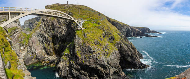
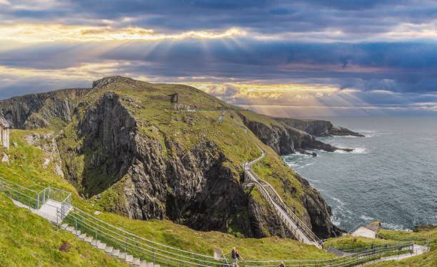
Panoramic picture of pedastrian bridge to Mizen Head lighthouse in south Ireland
Mizen Head: Ireland’s most Southwesterly Point.
Mizen Head - County Cork - Ireland
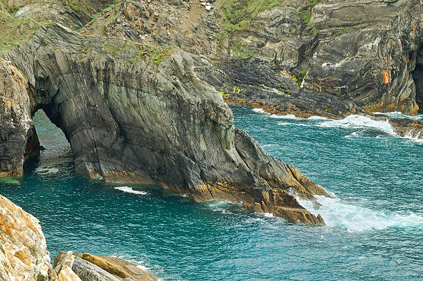
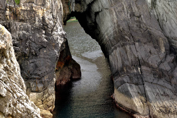
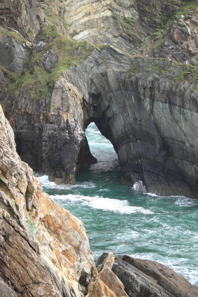
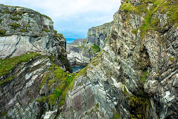
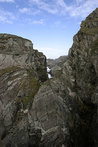
Stone arch at the coast of Ireland at Mizen Head, County Cork
Coastline of Mizen Head in stormy weather, County Cork, Ireland
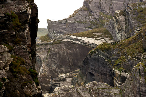
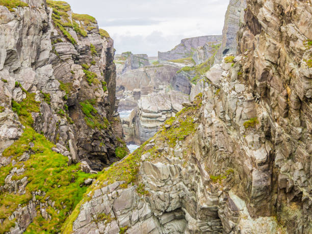
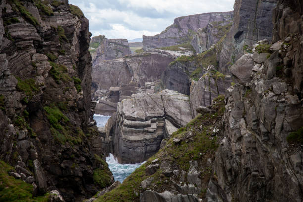
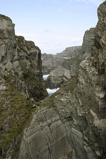
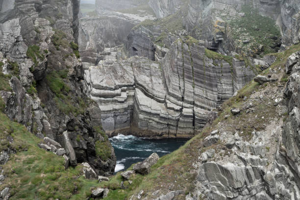
Mizen Head Rock Formations. County Cork, Ireland
Mizen Head in County Cork, Ireland - HDR
Mizen Head - County Cork - Ireland

Sheep’s Head is the narrowest of the fingers of land that extend from the south west mainland of Ireland out into the Atlantic, between Bantry Bay and Dunmanus Bay. The Sheep’s Head Way is 175km length in total. It is made up of the 88km circular walking route beginning in the town of Bantry in County Cork and running out along the north coast of the peninsula to the scenic lighthouse at the very tip before returning along the south side, passing through the pretty villages of Kilcrohane, Ahakista and Durrus, with the extensions to Drimoealgue and Kealkill to the north providing the additional 87km. The narrowness of the peninsula means that you are never far from the glorious Atlantic Ocean when you walk, even when on the outward stretch when you climb to the route’s highest point, 300 metres above sea level, on the heathery Seefin ridge. The terrain is very varied, and includes old boreens, open grassy and heathery moorland, field paths, quiet country roads and some short stretches of woodland paths. The aggregate ascent over the whole route is 2460m, which includes a few long ascents. In good weather those who like the uplands can extend the ridge section of the route, or use a number of alternative loops. The remains of an old copper mine, a blow hole, stone circles, standing stones, high cliffs, a Napoleonic signal tower and old churches are some of the varied attractions to be discovered along the way, while careful observance and a lot of patience may be rewarded by the sighting of dolphins and whales off the westernmost tip of the headland. There are also some shorter loop walks connected to the Sheep’s Head Way.
Sheep’s Head is the narrowest of the fingers of land that extend from the south west mainland of Ireland out into the Atlantic, between Bantry Bay and Dunmanus Bay. The Sheep’s Head Way is 175km length in total. It is made up of the 88km circular walking route beginning in the town of Bantry in County Cork and running out along the north coast of the peninsula to the scenic lighthouse at the very tip before returning along the south side, passing through the pretty villages of Kilcrohane, Ahakista and Durrus, with the extensions to Drimoealgue and Kealkill to the north providing the additional 87km. The narrowness of the peninsula means that you are never far from the glorious Atlantic Ocean when you walk, even when on the outward stretch when you climb to the route’s highest point, 300 metres above sea level, on the heathery Seefin ridge. The terrain is very varied, and includes old boreens, open grassy and heathery moorland, field paths, quiet country roads and some short stretches of woodland paths. The aggregate ascent over the whole route is 2460m, which includes a few long ascents. In good weather those who like the uplands can extend the ridge section of the route, or use a number of alternative loops. The remains of an old copper mine, a blow hole, stone circles, standing stones, high cliffs, a Napoleonic signal tower and old churches are some of the varied attractions to be discovered along the way, while careful observance and a lot of patience may be rewarded by the sighting of dolphins and whales off the westernmost tip of the headland. There are also some shorter loop walks connected to the Sheep’s Head Way.
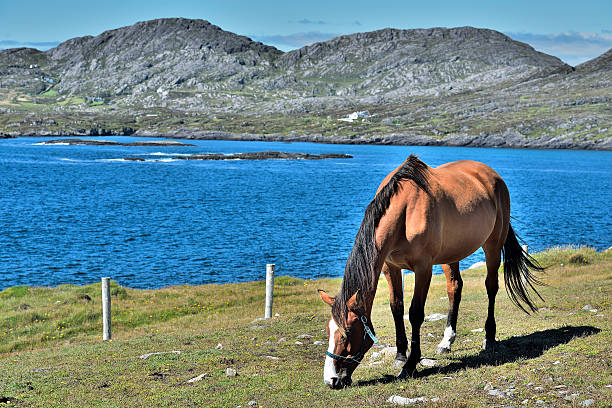
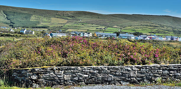
Horse an Beara Way near Eyeries, the most colorful village Irelands
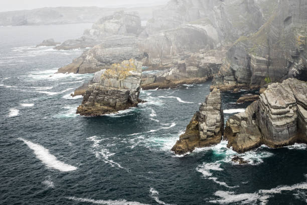
Rocky headland at Mizen Head, County Cork, Ireland, with waves from the Atlantic ocean breaking on the coastline, and mist.
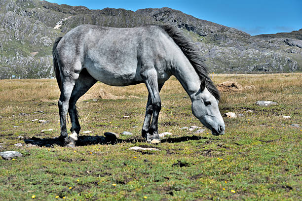
Horse on Beara Way, near Eyeries the most colorful village Irelands
Rocky headlands at Mizen Head, County Cork, Ireland, with waves from the Atlantic ocean breaking on the coastline, and mist.
ireland county cork mizen head
mizen head lighthouse ireland
mizen head lighthouse ireland