From hobby to world stage - how mapping the beauty of French Polynesia brought immeasurable benefits for its locals.
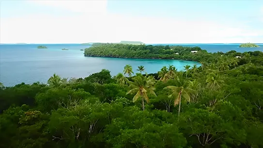
French Polynesia - white sand beaches, rolling hiking trails, and UNESCO World Heritage Sites make it a popular bucket list destination. While some are busy dreaming about it, Christophe Courcaud saw a unique opportunity to bring paradise closer to home and help Tahiti's tourism thrive with Street View.
1,800km
photographed
1,200,000
images
via
8k
display resolution videos
8+
islands
18
hotels published
+450
business listings created
Mixing business with pleasure
Spurred by his love for Street View and the gorgeous islands of French Polynesia, Christophe set up Tahiti 360 in 2019. The company specializes in photographing and uploading 360 imagery of large outdoor spaces in French Polynesia, including hiking trails and beaches, on Street View. And while his main focus is to capture and showcase the beauty of island life, Christophe also helps local businesses gain more visibility with immersive Street View indoor virtual tours.
Mapping French Polynesia
At a time when almost everything is digitized, it's hard to believe that only satellite views of French Polynesia were available until Christophe and Tahiti 360 arrived on the island. To make matters even more complicated, streets on islands like Bora Bora and Tahiti didn't have any names, so getting around was a challenge for locals and tourists alike. Most importantly, it made the job of emergency services like fire fighters, first responders and law enforcement more difficult than necessary.
I always believed that Street View has the power to bring great benefits to local communities. The ability to project yourself into a specific area, and familiarize with the surroundings before you even leave your house always fascinated me. This seemed especially useful in French Polynesia, where navigating your way around easily was nearly impossible.
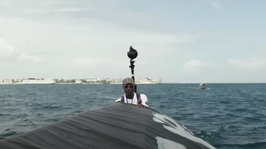
Recognizing the benefits Street View could bring to island life, local authorities partnered with Tahiti 360 to map and reference all roads in Tahiti, Moorea, Bora Bora, Raiatea, Maupiti, Huahine, Fakarava and Rangiroa. Christophe used all-terrain vehicles, golf carts, electric bikes, jet skis and even horses to cover 1,800km of French Polynesia. Thanks in part to Christophe's coverage and local geo-data shared by authorities, it's now possible to get live traffic updates, fastest route suggestions, and directions to local businesses in Tahiti on Google Maps. This is especially helpful for emergency services who are able to work more efficiently across the island as a result. Lastly, access to Tahiti 360's images on Street View has also simplified urban planning, maintenance of buildings, and road conditions.
Access to UNESCO's World Heritage Site
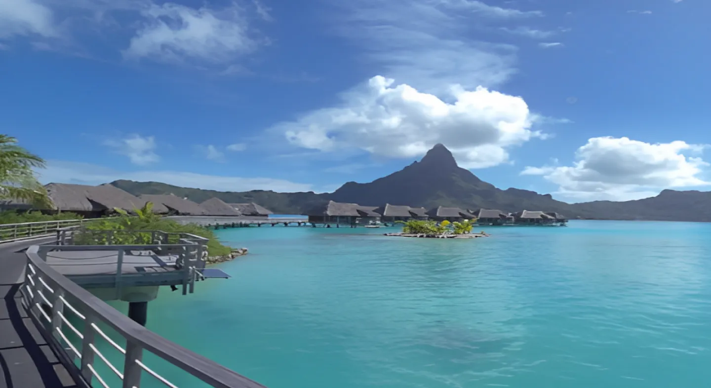
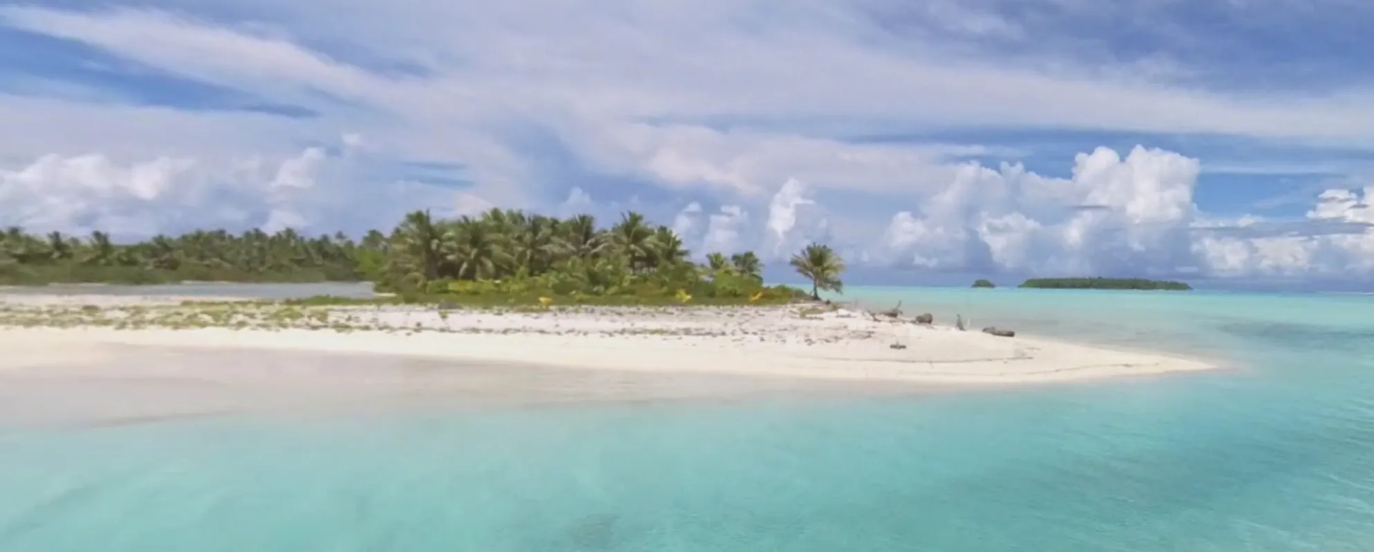
Tahiti 360's most immersive tour is of Taputapuatea on the island of Raiatea . The UNESCO World Heritage Site plays a big part in bringing over 300,000 visitors to French Polynesia every year. But, by capturing its beauty in 360, Christophe has opened it up for millions to experience it virtually. Christophe's published work on Street View brought a world wonder to our screens, allowing all of us to explore it.
Covering an entire island is no small feat, but Christophe was up for the challenge. To make sure he captured all that Bora Bora had to offer in 360, he covered the island by car, boat, and on foot. It took just seven days for Christophe to map the entire island, and make it available for all to experience it on Street View.
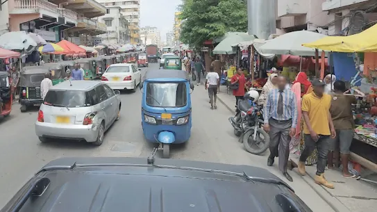
In addition to Bora Bora, Christophe also photographed all of the streets of Papeete , the capital of Tahiti, as well as the town of Pirae . The visibility paid off when the images of both towns appeared on Street View.
Local businesses also got their chance to shine on Street View. Big hotel groups like Intercontinental, Manava and Hilton, as well as smaller B&B businesses, were excited by the opportunity to showcase their facilities on a global stage.
Adding more to the bucket list
Tahiti 360 hopes to cover all of the islands in French Polynesia by the end of the year, with Maupiti, Tahaa, the Marquesas Islands, the Gambiers Islands and the Austral Islands still to come. And while there's still a lot of ground to cover in French Polynesia, Christophe is already thinking about his next adventure. He's already agreed to work with French local authorities in his home town to cover 400km of cycling paths, the hortillonnages of Amiens and a touristic train for Somme Tourisme. Christophe will also cover Teahupoo, the host of the surfing events at the 2024 Olympic games. And in between, he hopes to add New Caledonia, Wallis and Futuna Islands to Street View, to help improve daily life for the locals and help more people explore paradise.
Street View is a collaborative platform where contributors can help communities thrive, businesses grow and bring world wonders closer to home by publishing immersive imagery to Google Maps. Best of all, anyone can map their own success with Street View, all it takes is to take the first step to contribute.
POSTED IN:
Explore more
MAPPING & DIGITIZATION
Empowering local communities with Street View
MAPPING & DIGITIZATION
Laying the groundwork to map Zanzibar
MAPPING & DIGITIZATION
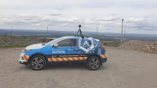
Autori revolutionizes road maintenance in Finland

HERITAGE & CULTURE
Digitally mapping the beauty of Bhutan to promote local tourism

MAPPING & DIGITIZATION
Digitizing Myanmar and preserving it’s cultural heritage
ECONOMY & SOCIETY
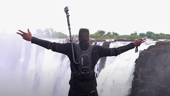
Mapping Zimbabwe by car, bike and boat
ECONOMY & SOCIETY
Local Guides are bringing Kenya’s beauty to the world
ECONOMY & SOCIETY
Overcoming obstacles when mapping Armenia

ECONOMY & SOCIETY
Boosting Bermuda’s tourism
ECONOMY & SOCIETY
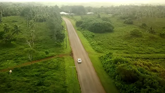
Showcasing Tonga’s culture