Landlocked to unlocked - how Street View opened a Buddhist kingdom to the world.
Nestled amongst the Himalayas, Bhutan has always had plenty of mountain passes, lush valleys, and serene rivers to offer. That's why the government partnered with Street View on a twelve-month initiative to showcase these concealed gems, while boosting Bhutan's tourism and socio-economic development.

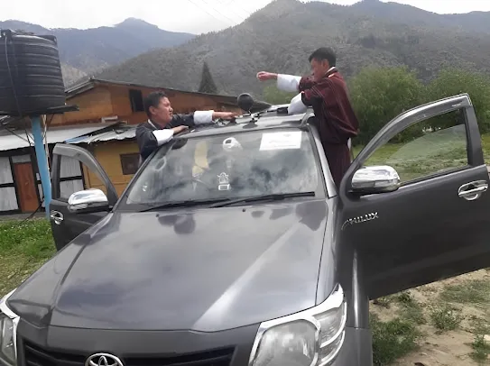
After several approval hurdles and clearances for filming, the Tourism Council of Bhutan, in collaboration with technical support from Google Singapore, was able to launch this project in May 2020. Street View supported them with two Ricoh Theta Vs, one Insta360 Pro, in-person trainings, and regular troubleshooting sessions to keep them up and running.
2625.86 km
photographed
2,398,285
images published
7.4 M
views
Digitally mapping the beauty of Bhutan
Prior to Street View's initiative, Bhutan didn't have the technical expertise or equipment to connect with potential visitors, which made it challenging for tourists to plan trips. Now, anyone - from buddhist pilgrims to potential visitors - can virtually unearth the fortress monasteries of Thimpu and pristine villages of Punakha.
While this is a milestone in the government's plan to reach out to the world, it's also a step forward in Bhutan's digital journey towards an ICT-enabled society.
A Bhutanese road more travelled
Street View's smart navigation has opened tourists up to a worldwide hotspot, and given travelers the freedom of choice and movement. Access to real time 360 footage and virtual tours of ground conditions has helped visitors set their journey expectations, and explore accordingly.
Bhutan's version of Google Street View has helped the country as well as individuals all around the world. It may be used by land surveyors, businesses, government agencies, educational institutions, and others to improve their services.
With 500 new businesses added to Street View and 4,000 updates made to Bhutan maps, residents have also been able to reap the benefits, with everything from real time traffic updates and route suggestions to more exposure for local businesses.
Better street views
Beyond reaching out to the world, the government's Street View initiative has proved very helpful in the planning of development projects. Filming terrain that has been hidden for centuries marks the start of Bhutan's heritage maintenance strategy. Through Street View data, they can take stock of road conditions and improve them where necessary.
Bhutan is being discovered by more and more explorers. But with just twenty towns covered, a territory of 38,394 km², and plans to regularly update maps with new infrastructure developments, this Street View initiative has only just begun.
Street View connects small worlds in big ways. Uncovering hidden gems through immersive imagery, it can revolutionise a country's trajectory and play an integral role in its development.
POSTED IN:
Explore more

Mapping & Digitization
Empowering local communities with Street View

Mapping & Digitization
Laying the groundwork to map Zanzibar
Mapping & Digitization
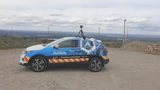
Autori revolutionizes road maintenance in Finland

Economy & Society
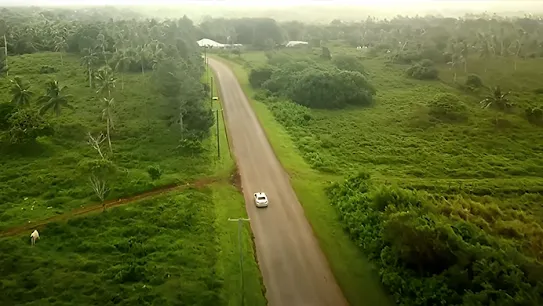
All-terrain vehicles capturing the islands of French Polynesia

Mapping & Digitization
Digitizing Myanmar and preserving it’s cultural heritage

Economy & Society
Mapping Zimbabwe by car, bike and boat
Economy & Society
Local Guides are bringing Kenya’s beauty to the world

Economy & Society
Overcoming obstacles when mapping Armenia

Economy & Society
Boosting Bermuda’s tourism

Economy & Society
Showcasing Tonga’s culture